The Giant USA Map Coloring Poster That Makes All 48 States Actually Stick
Every August, teachers and homeschool families spend hours picking the right curriculum for the year. Geography usually gets a workbook. The workbook gets used once per chapter, filed away, and forgotten by November. If you ask kids in January to name the states that border Missouri, most of them can't — even after a full geography unit in September.
The fix isn't a better workbook. It's putting a giant USA map coloring poster on the wall at the start of the school year and leaving it there. Geography changes when kids live with the map instead of doing it once and moving on.
Why geography worksheets don't build lasting memory
A worksheet gives a kid one encounter with a piece of information — color in a small state, write a capital in tiny print, turn it in. That's it. There's no reason for the brain to hold onto it because there's no repetition, no variation, no connection to anything bigger.
The research on memory formation is consistent: recall builds through spaced repetition across different contexts. A wall map delivers that without any extra effort from the teacher or parent. Kids see the shape of Nebraska every morning. They notice how the Mississippi River splits the country. They start asking questions about states they haven't colored yet. That's learning that doesn't require a quiz to measure — it just happens.
Back-to-school season is the right moment to put something on the wall that's going to teach all year. A US map coloring poster is one of the few classroom supplies that pays off in October, January, and April — not just the first week of school.
What the 30" × 42" giant USA map coloring poster includes

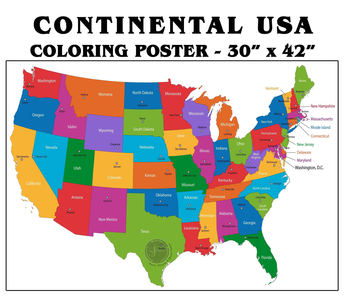
The giant USA map coloring poster by SJPrinter covers all 48 contiguous states at 30 inches tall by 42 inches wide — big enough that Wyoming and Colorado (the two rectangles everyone confuses) actually look different from each other. State outlines are clean and thick. There's room inside each state to write the full name, the two-letter abbreviation, and the capital city without squeezing.
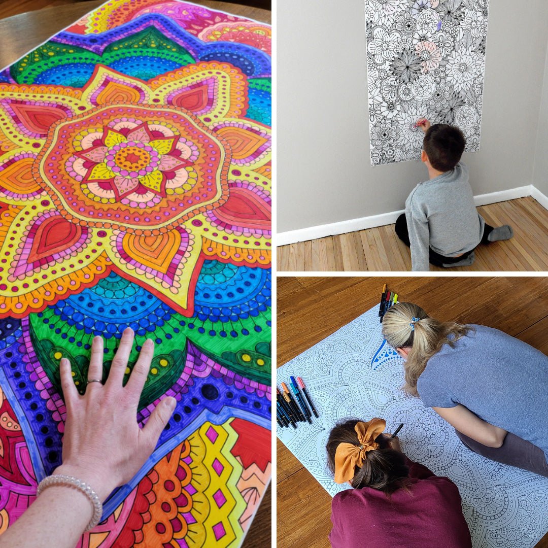
Every poster is printed in-house by SJPrinter — a professional print shop that has been in Cherry Hill, NJ since 2000. Heavy bright-white paper stock. No bleed-through. Works with crayons, colored pencils, water-based markers, and brush pens. Made in the USA.
5.0 stars from verified buyers. Ships rolled so it arrives crease-free — goes straight onto the wall. Same-day shipping via UPS on every order. Ships to all 50 states. Zero sales tax outside New Jersey — every order to every other state is completely tax-free. Also on Amazon.
Back-to-school classroom setup: what actually works for geography
Teachers setting up their social studies classroom in August face a real problem: most geography wall materials are either too small to read from a student's desk or so busy with color-coding and callouts that they become visual noise kids stop seeing by week two.
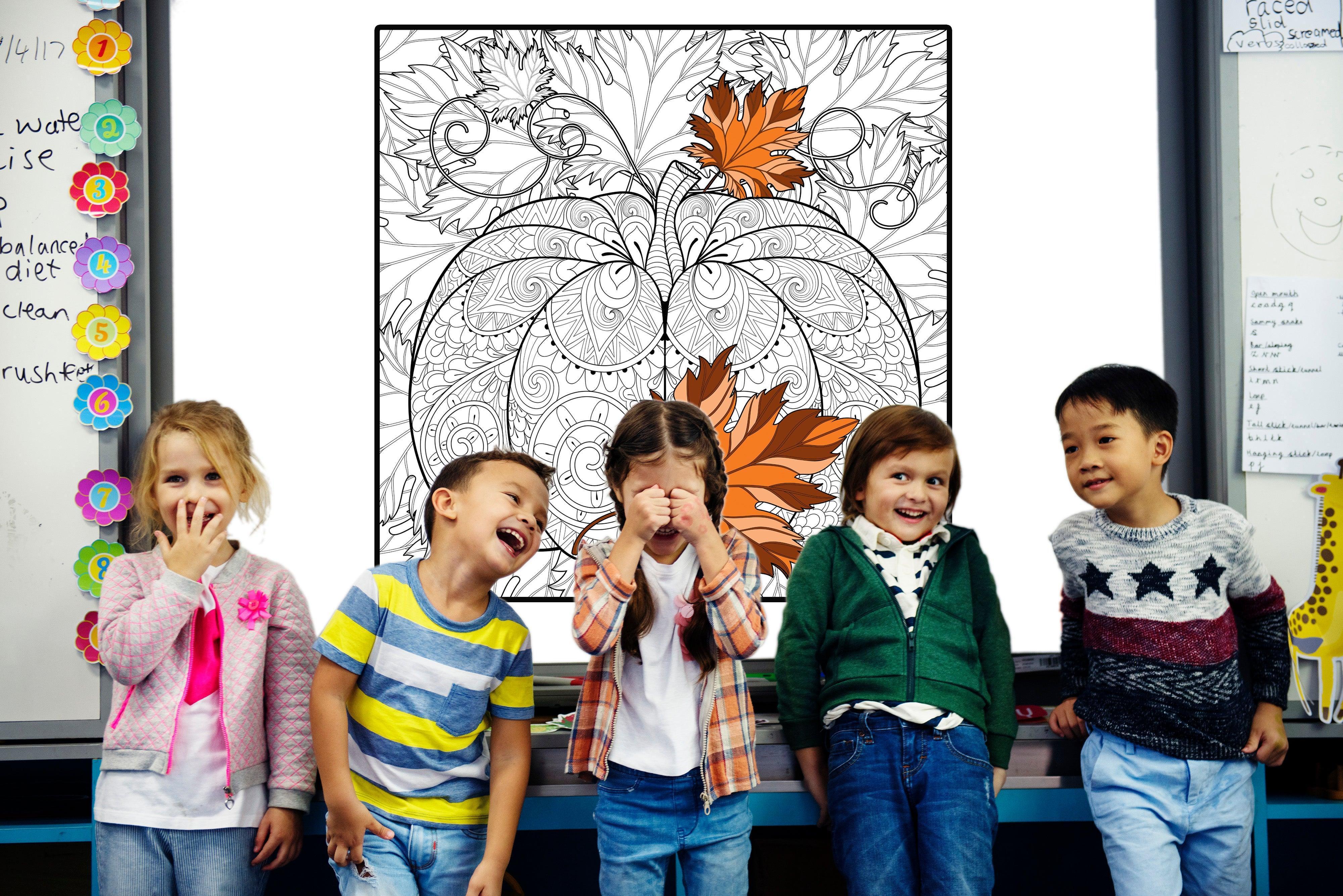
A giant coloring map of the USA is different because the kids help make it. Start the year with an outline. Add a region each week. Write in capitals during a social studies unit. Trace the Oregon Trail when it comes up in history. By December, the class has built a map together — and they remember what's on it because they put it there.
For homeschool families: this is one of the most efficient geography tools available because it works across multiple grade levels simultaneously. A kindergartner can color California while a third-grader writes in the capital and a fifth-grader maps the Gold Rush. One poster. Three kids. Different layers of the same lesson.
7 geography activities that work on this map all year
The map doesn't have to be a one-time project. Layer activities over weeks — add detail as new topics come up in social studies, history, or science. Here's how families and classrooms use it:
1. Color by region first, not by state
Don't start with all 48 states. Start with five regions — Northeast, South, Midwest, Mountain West, Pacific. One color per region. Kids build a mental framework before they get into individual states. They understand that Oklahoma is in the South before they've memorized its neighbors. Regional geography before state geography is how it sticks.
2. Write state abbreviations inside each state
After coloring a region, go back and write the two-letter postal abbreviation inside each state: NJ, CA, TX, OR. This sounds small. Kids who do it can recall state abbreviations faster than any drill sheet produces. There's something about physically writing NV inside the large shape of Nevada at this scale that creates a memory anchor that worksheets don't.
3. Mark the state capitals with stars
A star for every capital city. Younger kids stop there — they're building spatial awareness, not memorizing yet. Older kids add the capital name. This is the activity that finally makes abstract states and capitals trivia feel real. Frankfort, Kentucky. Pierre, South Dakota. They stop being trick questions and become locations the kid has physically placed on a map they made themselves.
4. Plan an imaginary road trip
Pick a starting city and a destination. Draw the route. Which states do you cross? What changes — terrain, climate, industry — as you drive from one region to another? How many states is it from Cherry Hill, NJ to the Grand Canyon, and what do they look like as you go? Mapping a journey turns states from a list into a sequence that makes sense on its own terms.
5. Map what each state produces
One word inside each state for what it's known for producing: Iowa — corn. Texas — oil, cattle. Michigan — cars. Maine — lobster. California — almonds, tech, movies. Georgia — peaches. This works standalone or paired with a social studies economics unit. Kids who build this version of the map can tell you what Idaho is famous for. Kids who did the worksheet usually blank on it.
6. Trace US history on the geography
Mark the original 13 colonies. Shade the Louisiana Purchase. Draw the Oregon Trail. Show how the country expanded decade by decade. History and geography are the same subject when you put them on the same map at scale. A kid who colored the Louisiana Purchase territory understands westward expansion better than one who read about it in a chapter summary.
7. Add civics and current events
For older students: color states by time zone. Mark states by population density. Show where major rivers shaped the location of cities. This is a social studies poster that teaches kids to read maps for meaning — not just to locate states, but to understand why the country looks the way it does and why it matters.
When kids start asking about other countries
Some kids finish the US coloring map and want to know what's outside it. What countries are in South America? What do European flags look like? How big is Australia compared to Texas? That's when world geography becomes the obvious next step.
The world flag sticker set by SJPrinter covers 192 independent countries — full-color stickers accurate enough to distinguish similar-looking flags. Kids can use them on a world map, in a geography journal, or across the pages of the flag coloring book below. There are many ways to use flag stickers for world geography learning — adding each sticker as a country is studied is the simplest, and it works.
The World Flags Coloring & Activity Book — 234 countries, 102 pages
This is the book that takes geography from the US to the whole world. 102 pages. 234 flags from every country and territory, with three flags per page so there's actual room to color each one carefully. Every country's page includes the capital city, official currency, language, and population — on the same page as the flag, not in a separate appendix.
Crossword puzzles and word search puzzles built around the same content reinforce what kids learned through coloring without adding another worksheet layer on top.
The book comes bundled with 192 full-color flag stickers already included in every copy.
From a parent: "The flag coloring book is great! Got for my husband and daughter to do together. Love the stickers and color reference inside!" — Tracey, verified buyer
Available on Amazon. Written by Oksana Kudina of SJPrinter.
Adding pretend passports to the geography unit
Once a kid has colored a country's flag and can find it on a world map, the next question is usually: can I go there? The pretend passports by SJPrinter give that imaginative layer a physical form. Kids use them as travel journals — stamp each "country" as they learn it, add the flag sticker, write one fact from the coloring book. The USA map goes on the wall. The coloring book sits at the desk. The passport goes in the backpack.
It ends up being a geography curriculum that doesn't need a formal structure — just materials that give kids something concrete to do with what they're already learning. You can read more about why hands-on coloring builds stronger recall than passive review.
Where to get it: same-day pickup in South Jersey or ships to all 50 states
The giant USA map coloring poster is printed by SJPrinter at 1400 Berlin Road, Cherry Hill, NJ 08003. Free local pickup — orders are ready within about one hour. If you're in South Jersey, Burlington County, Camden County, or anywhere in the Philadelphia area, that's same-day access with no shipping wait.
For everyone else in the country: every order ships same business day via UPS to all 50 states. Orders outside New Jersey are completely tax-free — zero sales tax, no exceptions. The poster ships rolled so it arrives crease-free. Put it straight on the wall.
New to sjprintstore.com? Use code WELCOMEGIFT for 15% off your first order.
The poster is also available on Amazon. Browse all giant coloring posters by SJPrinter — every one ships the same or next business day, rolled and crease-free, tax-free outside NJ to anywhere in the US.
Keep reading
- How to Use World Flag Stickers: 8 Geography Activities for Kids, Classrooms, and Families
- How to Teach Kids About Countries Using Pretend Passports and World Flag Stickers
- What Is a Novelty Passport? The Complete Guide to Pretend Play Passports for Kids
Ready for pickup in Cherry Hill, NJ — same day, every order.
Every giant coloring poster is printed in-house by SJPrinter. Order online by noon and pick it up this afternoon. Ships same business day via UPS to all 50 states — tax-free outside NJ. Cherry Hill, NJ — serving Camden, Burlington, and Gloucester County.
856-429-0715 | info@sjprinter.com | 1400 Haddonfield-Berlin Rd, Cherry Hill, NJ 08003
Contact Us Request a QuoteGet new posts from SJPrinter
Practical print guides for South Jersey businesses. No spam.
Leave a comment
All comments are moderated before being published.
This site is protected by hCaptcha and the hCaptcha Privacy Policy and Terms of Service apply.